
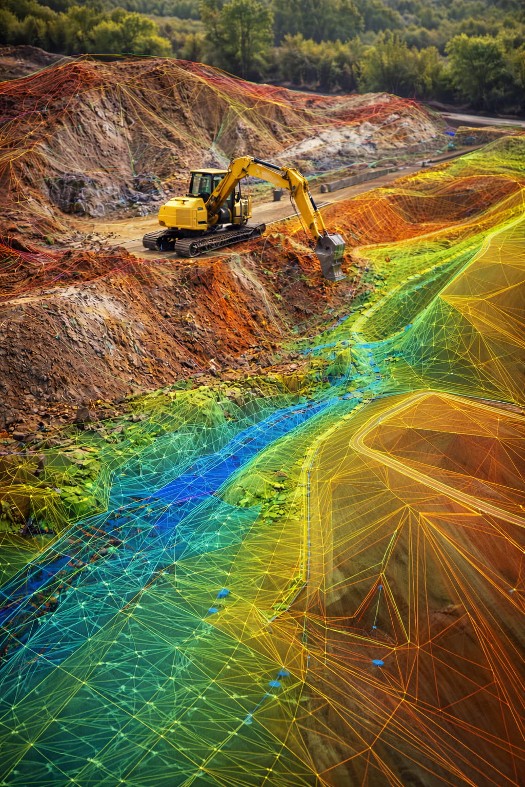
Digital Terrain Models (DTMs)
We create digital terrain models to represent existing and proposed site conditions. These models support earthworks planning, drainage design, and machine control operations.
3D Design Modelling
We develop 3D
construction models to visualise and coordinate complex engineering elements. These models improve accuracy, reduce clashes, and enhance communication between design and site teams.
Machine Control Models for GPS Plant
We produce machine control models compatible with GPS-enabled plant equipment, enabling automated grading, excavation, and formation works with high precision and efficiency.
Data Outputs in CAD, PDF & N4CE Formats
We provide all engineering data in industry-standard formats including CAD drawings, PDF documentation, and N4CE files, ensuring compatibility with designers, contractors, and machine systems.
What we can do for you
- Digital terrain models (DTMs)
- 3D design modelling
- Machine control models for GPS plant
- Data outputs in CAD, PDF and N4CE formats